Aerial Surveying and Imagery


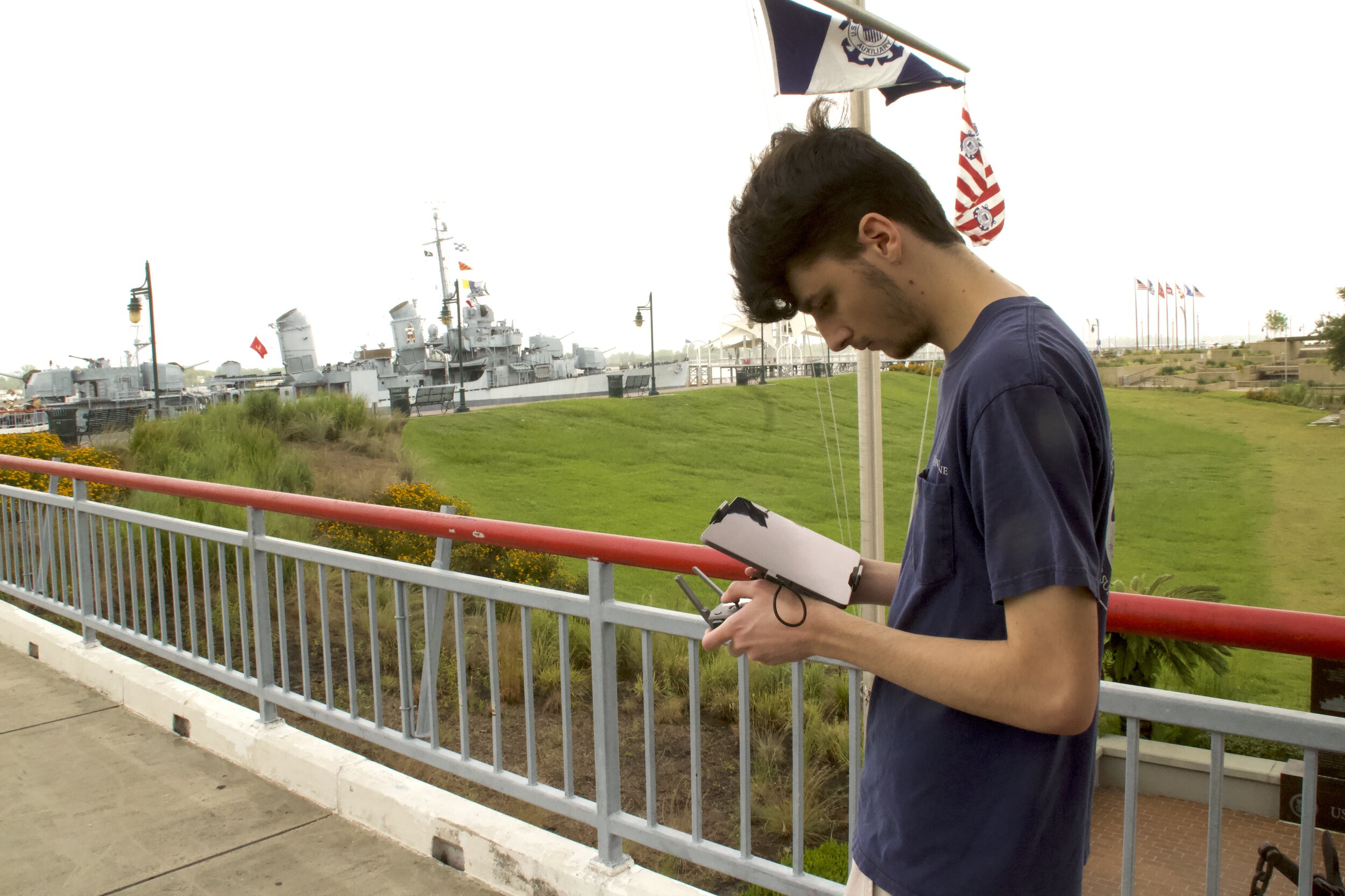
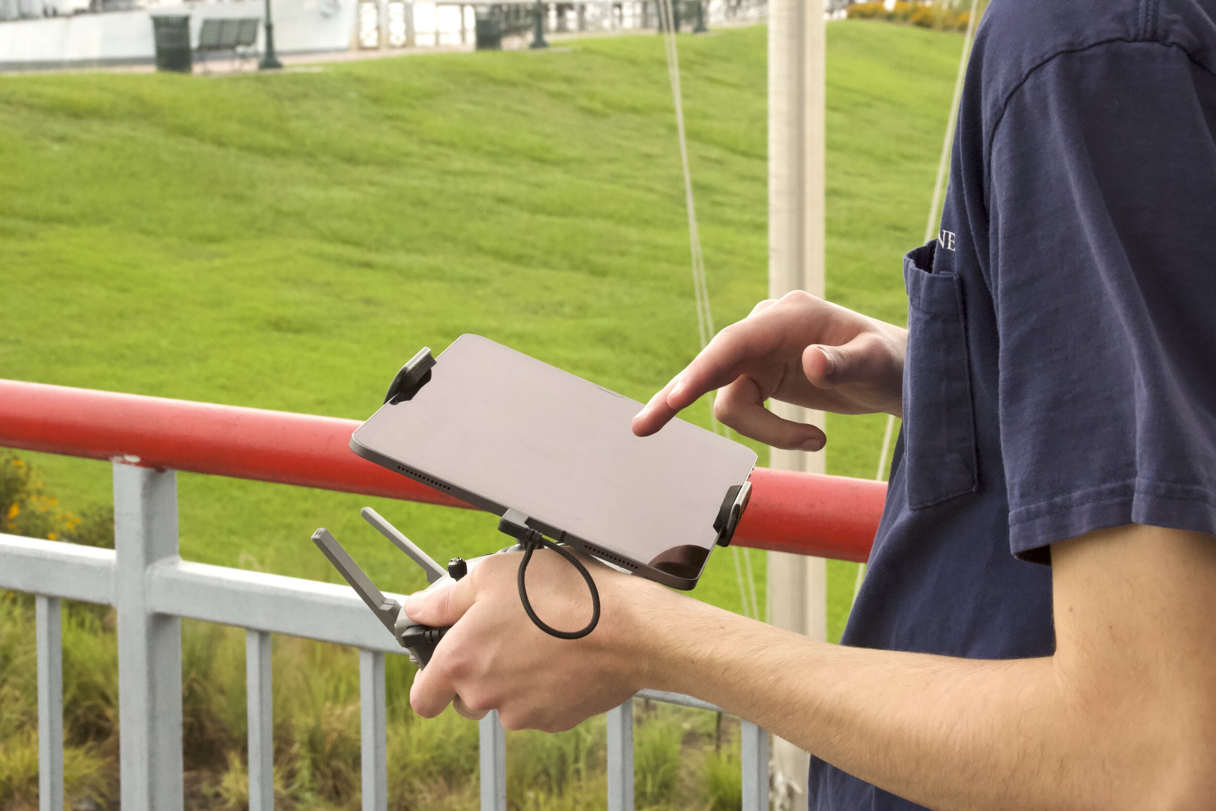
As marine surveyors, we continue to represent our clients in matters ranging from routine to catastrophic. The maritime industry, like most others, is constantly changing with advances in technology. With this in mind, we are eager to share the potential we see using unmanned aircraft (drones) to obtain aerial photographs and video to enhance and add value to our survey reports.
Our commitment to excellence extends to our aerial photography division. We are licensed by the FAA, fully insured, and continue to be "The Standard By Which Others Are Measured."
Aerial photography has many practical uses in the maritime industry, and we are using this technology to develop new approaches to old problems. While we continue to document our assignments with aerial photos and videos, we are upgrading our equipment and conducting test flights with package delivery systems that are capable of midstream package deliveries weighing up to five pounds. We welcome the opportunity to discuss how aerial photography, videography, and midstream package delivery systems can be beneficial in your particular operating environment.
Regardless of your needs, We Have You Covered, Air, Land, & Sea, so get your business off the ground and incorporate our Aerial Surveying and Imagery services into your loss control, advertising, and business strategy.

